Pearson-Arastradero Preserve
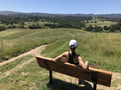
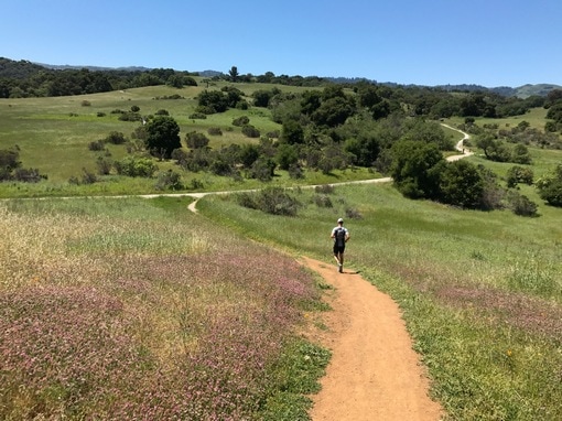
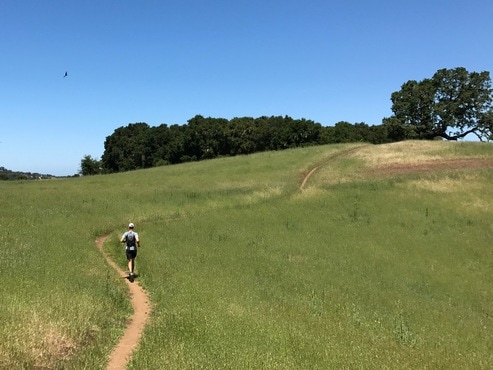
Pearson-Arastradero Preserve is a small gem of a park, located only a short drive from Palo Alto. Because the trails are well-maintained, well-marked, and the climbs are mild, Pearson-Arastradero is a great place for a beginner to first experience the joys of trail running. The preserve is a beautiful mixture of rolling savanna grassland and broadleaf evergreen forest. Wildlife abounds on the preserve and it is not uncommon to see deer, bobcats, coyotes, and many varieties of birds. The Arastradero Creek winds through the preserve and feeds Arastradero Lake in the northeast side of the park. There are several high points in the park with excellent vistas of the Bay Area.
There are about 10 miles of trails in the park. The well-maintained trails are a mixture of fire road and singletrack. The elevations in the park vary from 275 feet in the northeast to 775 feet in the southwest. The trails are rolling, and the climbing in the park is mild.
The Dirt:
Extras:
There are about 10 miles of trails in the park. The well-maintained trails are a mixture of fire road and singletrack. The elevations in the park vary from 275 feet in the northeast to 775 feet in the southwest. The trails are rolling, and the climbing in the park is mild.
The Dirt:
- Click here for the official Pearson-Arastradero Preserve site with trail map.
- Click here for directions to the main parking area (on Arastradero Road) via Google Maps.
- Dogs on leash are allowed on all trails in the preserve!
Extras:
- The only drinking water available in the park is at the main parking area off of Arastradero Road.
- If you are looking for a very long adventure, you can run/hike from Pearson-Arastradero all of the way to Skyline Blvd by connecting Pearson-Arastradero Preserve, Foothills Park, and Los Trancos Open Space Preserve. Click here to learn more about this amazing route!
Favorite Run #1: Dan's Loop (6.0 mi, ~700 feet elevation gain) 🐾
|
This is a nice run that covers many of the trails through the rolling grassland of Pearson-Arastradero Preserve. The route starts out fairly easy for the first mile, then climbs to a 750' high point. The last three miles of the run are primarily downhill.
Thanks to Dan Nelson for contributing this route! GPX Track Printable Trail Map Driving Directions |
|
|
Route Details:
|
Bonus Hill Trail
Bowl Loop Trail
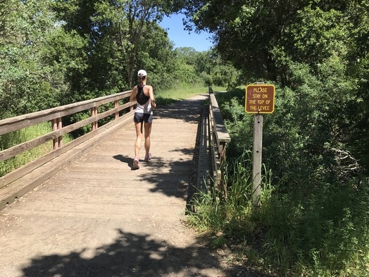
Bridge onto Paseo del Roble Trail
|