Mount Burdell Preserve
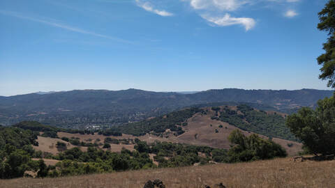 Looking out onto Novato
Mount Burdell lies on the northern most end of the city of Novato. Packed with gentle fire roads and the occasional steep single track, this park is the largest preserve in the Marin County Parks system. The park has dry summers and wet winters so expect the trails to be buffed out and hard during the dry months and sloppy and muddy when it rains.
The park itself is not huge when compared to others in Marin but it still has a fair amount of trail that can be looped together. Additionally it connects to Olompali State Park which allow for more trails to stomp. The summers can be very hot so come prepared with water as there is none in the park (the streams are likely to be dried up too). The single track occasionally has shade, while the fire roads tend to be the most exposed.
There are quite a few trailheads to start at, but none of them have names. They all back up onto neighborhoods so please be extremely respectful when parking to go on your run. The trailhead linked here on Trailstompers has extensive street parking and it is free!
The Dirt:
- Click here (coming soon) to download a printable trail map of the Favorite Runs below!
- Click here for the official park site with trail map.
- Click here for driving directions to the trailhead via Google Maps.
- Dogs are allowed, and may be off-leash under voice command on fire roads. They are allowed on single track trails on-lease as well!
Extras:
- The park is open 24 hours, enjoy all the night running you would like!
- There is no potable drinking water available within the preserve.
- WARNING: This park has many use trails that are not on the trail map! Bring a map and stay attentive so you do not get lost and have to do more miles.
Favorite Run #1: Mt. Burdell Figure Eight (5.7 mi, ~1300 feet elevation gain) 🐾
|
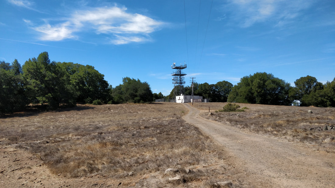
This run starts out in a local neighborhood and makes it way up to the summit of Mt. Burdell. There is no view from the cell tower at the top, but if you continue on a use trail near the summit you can get a good look of Novato. The route is a figure eight mostly on fire roads with a bit of single track.
The run starts at the well-marked trailhead linked below. To begin the run, head directly north on San Andreas Fire Road. GPX Track Printable Trail Map (coming soon) Driving Directions |
|
Route Details:
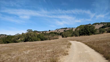 Heading up San Andreas Fire Road
- 0.0 mi: Begin heading North on San Andreas Fire Road. The climbing begins now!
- 0.7 mi: Veer right onto Middle Burdell Fire Road and continue upwards. You have now entered the figure eight!
- 1.2 mi: Turn left onto Cobblestone Fire Road.
- 1.5 mi: Veer left onto Deer Camp Fire Road and enjoy not having to climb for a short bit.
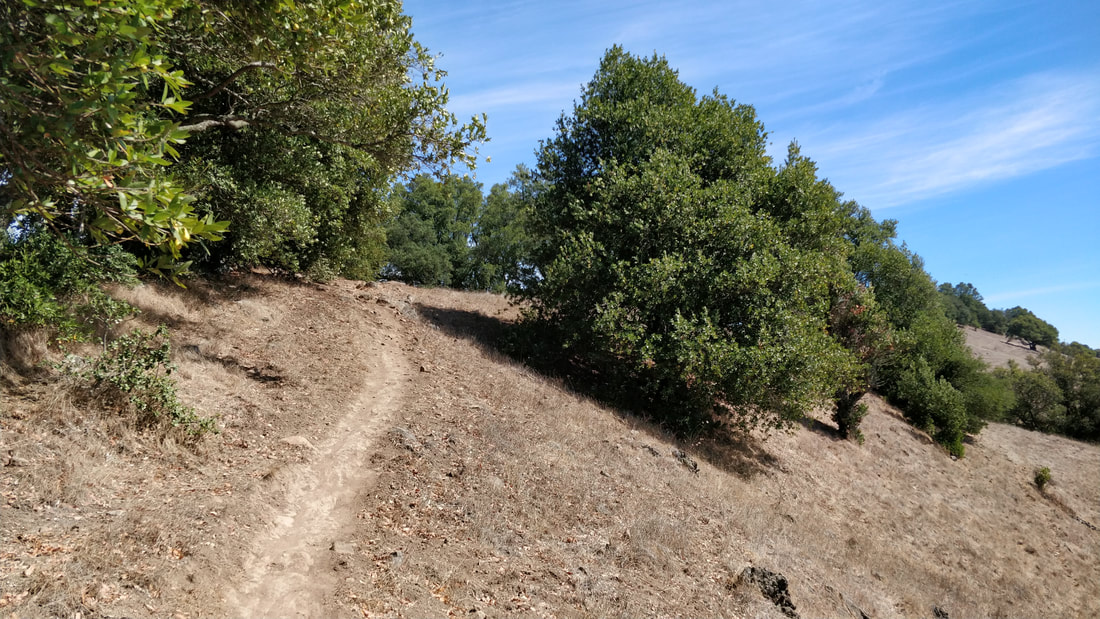
- 2.0 mi: Turn right onto Eagle Rim Trail, the single track on the right hand side. The climbing begins again. Be careful as the trail gets a little looser up here.
- 3.0 mi: You've reached the cell phone tower! Turn left onto the main fire road to continue your run. Farther to the left is a use trail that will bring you to the true summit which will provide better views.
- 3.01 mi: To head back towards the trailhead, almost immediately take a right onto Cobblestone Fire Road. Be careful the trail is definitely quite rocky and lives up to its name.
- 3.6 mi: Take a right back onto Deer Park Fire Road, this should look quite familiar.
- 4.1 mi: Rather than take Eagle Rim Trail again, continue on Deer Park Fire Road.
- 5.0 mi: Turn right onto San Andreas Fire Road and follow it back to the car!
- 5.7 mi: Back at the car!