Pinnacles National Park
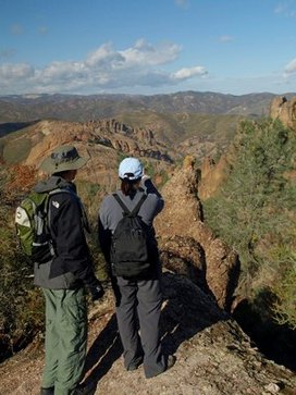
Pinnacles National Park is a 26,606 acre park located about 5 miles east of Soledad. Designated in 2013, It is America's newest National Park. The name Pinnacles comes from the unique rock formations found within the park. These formations are part of the Neenach Volcano which erupted 23 million years ago near present-day Lancaster, in Southern California. The movement of the Pacific Plate along the San Andreas Fault split the volcano and the west side slowly traveled 195 miles north, while continuously being worn away by water, weathering, and chemical erosion. The unique formations are what is left today of the west side of the volcano.
The park has a long history. In the 1880's, the area was already being visited by picnickers from the surrounding communities to explore the caves and camp. In 1908, President Theodore Roosevelt created the 2,500-acre Pinnacles National Monument. Throughout the following decades, the park gradually expanded through acquisitions or donations of additional surrounding lands. In 1933 a Civilian Conservation Corps camp was established to work on additions to the trail network. The park significantly expanded in 1958 when old mining claims were incorporated into the monument. By 2013, when legislation was signed by President Barack Obama to designate Pinnacles as a National Park, it had expanded to over 26,000 acres.
Pinnacles National Park offers 32 miles of trails. The trails are primarily single track. Elevations within the park range from about 800' to 3,304' at the summit of North Chalone Peak. It is important to note that there is little shade along the trails, temperatures can rise to well over 100 degrees in the summer, and there is no water available along the trails. This means you need to bring plenty of water and be careful in the summer!
 California Condor
 Image from sandiegozoo.org
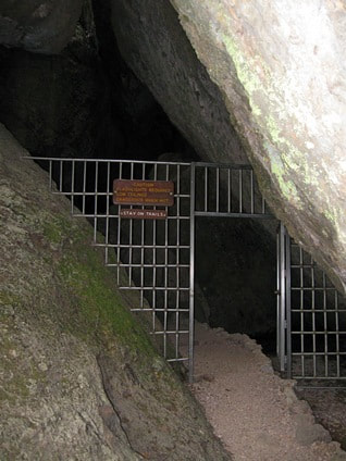
In addition to hiking, visitors can explore two systems of talus caves, which are formed by massive boulders that have become wedged in narrow ravines. Rocks the size of houses hang over your head as you make your way through the cool, dark caves. If you want to explore these caves, you will need a headlamp or flashlight even in the daytime. The park also has a campground that can be accessed from the east entrance. The campground offers tent and RV sites.
As an important note, Pinnacles is one of four sites where captive-bred condors are released into the wild. California condor numbers are now on the rise after reaching a low of only 22 birds in the early 1980's. Significant decline in the condor population was due to poaching, lead poisoning, DDT poisoning, electric power lines, egg collecting, and habitat destruction. Thirty years of captive breeding, monitoring, and preservation efforts have brought that number up to over 400 birds. ~Adapted from Wikipedia
As an important note, Pinnacles is one of four sites where captive-bred condors are released into the wild. California condor numbers are now on the rise after reaching a low of only 22 birds in the early 1980's. Significant decline in the condor population was due to poaching, lead poisoning, DDT poisoning, electric power lines, egg collecting, and habitat destruction. Thirty years of captive breeding, monitoring, and preservation efforts have brought that number up to over 400 birds. ~Adapted from Wikipedia
|
The Dirt:
Extras:
|
Favorite Run #1: Pinnacles Super Loop (13.3 mi, ~2700 feet elevation gain)
|
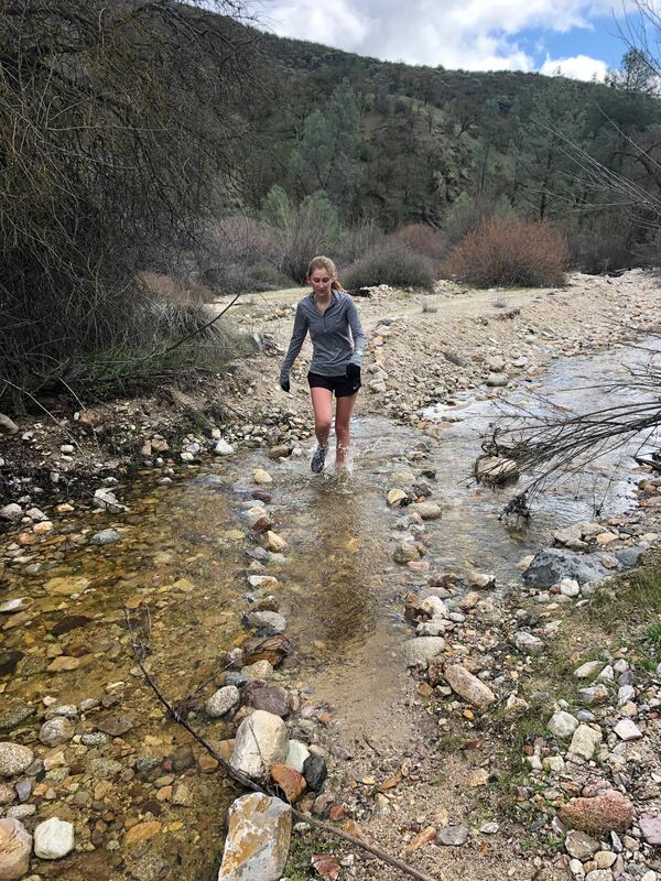
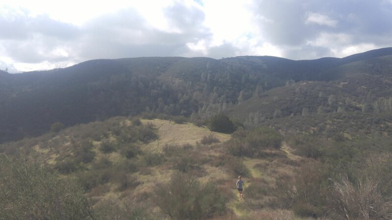
While not the largest and most desolate park, Pinnacles National park offers some wonderful running and quite a lot of adventure. This route contains the best of Pinnacles, fun single track, a little bit of scrambling over rocks, and even some fun creek crossings.
This run requires a little planning. I started from the west entrance but it can easily be done from the east entrance as well. The loop takes the North Wilderness Trail, a lightly trafficked trail going through the north part of Pinnacles. It has numerous creek crossings and the trail is not always well defined so having a GPS device will be very handy if you ever happen to lose the trail. It also takes the High Peaks Trail which requires a bit of climbing protected by hand rails. It is not very hard but a little tougher when wet and cold out. Begin by parking at the Chaparral Trailhead on the west side of Pinnacles. There are restrooms and water available at the start and along the route. Start by heading southeast on Juniper Canyon Trail. GPX Track Printable Trail Map (Coming soon!!!) Driving Directions |
Route 3,585,226 - powered by www.wandermap.net |
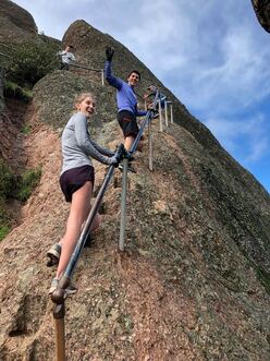 Climbing up the High Peaks Trail
Route Details:
- 0.0 mi: Park at Chaparral Trailhead and begin by heading southeast on Juniper Canyon Trail. The 1.9 mile climb begins.
- 1.2 mi: Take a left onto Tunnel Trail. Be careful going through the tunnel and continue climbing upward!
- 1.6 mi: Turn right onto the High Peaks Trail. Climb a little more and traverse along the ridge. Have fun climbing over the rocks and be careful if it is slick out!
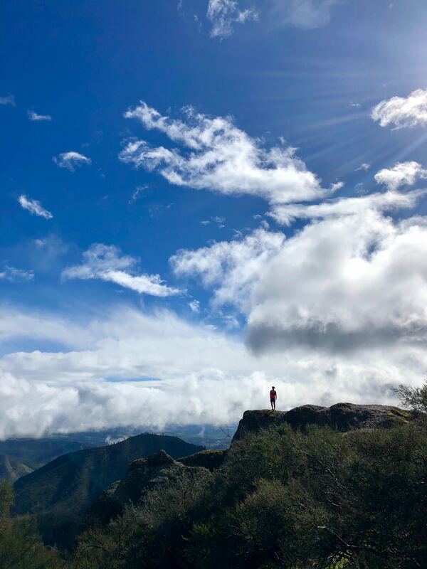
- 2.3 mi: Take a break at the bathroom and enjoy the views! The long descent begins here by turning left to continue on the High Peaks Trail.
- 3.7 mi: Continue straight on High Peaks Trail and follow signs to get you to the Bear Gulch parking lot.
- 4.0 mi: The trail dumps you into a parking lot. Water is available as well as a bathroom. Continue downwards following Bear Gulch Trail.
- 4.2 mi: The trail ends at Bear Gulch Day Use Area. More bathrooms and water is available. Continue across the parking lot on the downhill side and continue your descent on Bear Gulch Trail. Enjoy the flowing single track!
- 5.2 mi: Take a left on Bench Trail. At the intersection there is a sign with a trail name pointing straight. Don't go that way, turn left. In a quarter mile you will go under a bridge. If you do not end up going under a bridge, you may have taken a wrong turn.
- 5.8 mi: Continue straight on Bench Trail.
- 6.3 mi: Turn left onto Old Pinnacles Trail. If you end up in a parking lot, you have gone too far!
- 6.9 mi: Don't miss the turnoff onto the North Wilderness Trail. It'll be on your right, definitely not the most obvious turn off. The trail becomes less defined from here on, following North Fork Chalone Creek. Depending on when you go the creek could be either dry or flowing up to your knees.
- 10.4 mi: The North Wilderness Trail begins to climb, leaving the creek bed. Follow the North Wilderness Trail back to the parking lot.
- 13.2 mi: Enter the picnic area and turn right towards the bathrooms. The parking lot will be straight ahead!
