Robert Louis Stevenson State Park and Mt. Saint Helena
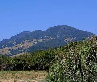
Robert Louis Stevenson State Park is located on Highway 29 about 7 miles north of Calistoga. The park is named after Robert Louis Stevenson, the author of Treasure Island and Kidnapped. In 1880, Stevenson and his new wife spent their honeymoon living in a cabin at an abandoned mine on the mountain. Stevenson's book Silverado Squatters contains stories he wrote about his experiences during his visit to the area. Although nothing remains of the cabin, the location of the cabin is indicated with signs along the hiking trail.
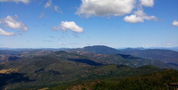
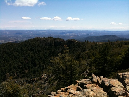
The most recognizable feature in the park is Mount St. Helena, which rises dramatically above the Napa Valley just north of Calistoga. This huge mountain extends into three different counties: Sonoma County, Napa County, and Lake County. At 4,343', Mount St. Helena is the second highest mountain and highest publicly accessible summit in Sonoma County. From the summit on a clear day you can see Lassen Peak, the Sierra Nevada mountains, Mount Diablo, Mount Tamalpais, and the Pacific Ocean.
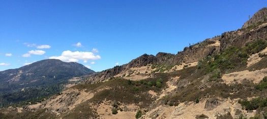
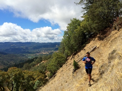
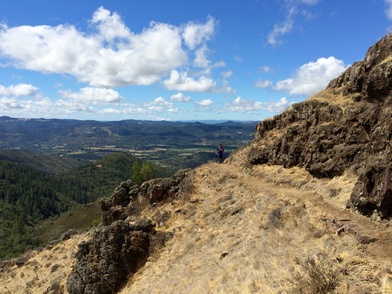
Another spectacular feature of the park are the Palisades, a stunning mile-long volcanic wall set along a ridge that overlooks Calistoga and the Napa Valley. These features are made up of alternating layers of volcanic deposits. The south end of the bluffs feature giant six-sided columns that formed when the molten rock contracted as it cooled.
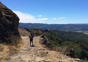 The historic Oat Hill Mine Trail
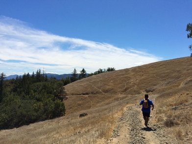
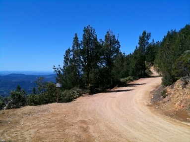
The park also features sections of the old Oat Hill Mine Road which was constructed in the late 1800's to provide a transportation route between Calistoga and the cinnabar mines to the north. The cinnabar contained mercury, also called quicksilver, which was used to extract gold and silver from pulverized ore. The most productive cinnabar mine in the area was the Oat Hill Mine, which accounted for one third of the total U.S. production of quicksilver from its discovery in 1872 until the late 1960’s. Construction of the Oat Hill Mine Road started in 1873 and took 20 years to complete. The road connected Calistoga to the Oat Hill Mine with a side branch descending to Aetna Springs. Today the 8.3 mile Oat Hill Mine Trail follows the original route between Calistoga and the western end of Aetna Springs Road in Pope Valley. Ruts carved by heavy wagons traversing the soft volcanic rock are still visible along parts of the middle and upper trail. Hand-laid stone walls are visible at many locations along the trail.
The Dirt:
Extras:
- Click here to download a printable trail map of the Favorite Runs below!
- Click here for the official website for Robert Louis Stevenson State Park
- Click here for an alternate site for Robert Louis Stevenson State Park with a trail map at the bottom.
- Click here for directions to the trailhead via Google Maps.
- Dogs are not allowed on trails in the park.
Extras:
- There is no drinking water available in the park, so make sure to bring your own!
- Click here to download an in-depth study of the geology along the Oat Hill Mine Road.
- Did you know there is an "Old Faithful" geyser in California? This geyser erupts regularly and a change in the schedule has proven to be a predictor of earthquakes! Visit the Old Faithful Geyser site for more information.
Favorite Run #1: The Palisades Point-to-Point (10.6 mi, ~1600' elevation gain)
|
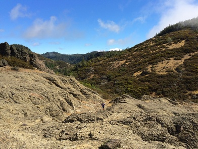
This spectacular and rugged point-to-point run hits many of the highlights of the park. The first destination is Table Rock, a bizarre and massive flat section of volcanic rock that looks more like Mars than Earth. The next section of trail passes directly below the Palisades, a stunning mile-long volcanic wall set along a ridge overlooking Calistoga and the Napa Valley. After a visit to the site of the old Holm homestead, you intersect the Oat Hill Mine Trail for a windy and rocky 4.5 mile descent to Calistoga.
Note that this is a point-to-point run, so you will need to leave one car at the bottom of the Oat Hill Mine Trail in Calistoga and arrange transportation to the start of the run which is about 8 miles north along Highway 29. The start of the run is at about 2300', while the end is at about 400'. It is also possible to start in Calistoga and run in the opposite direction; however, running from south to north adds about 1900' feet of climbing! The run starts from the parking lot for Robert Louis Stevenson State Park. Heading north from Calistoga on Highway 29, the parking and trailhead is on the right side about eight miles past downtown Calistoga. To begin the run, head east from the parking area up the well-marked Table Rock Trail towards Table Rock. GPX Track Printable Trail Map Driving Directions to the Start Driving Directions to the Finish |
Route Details:
Note: The Table Rock Trail can be tricky to follow in a few sections, so we recommend that you download the GPX track to your GPS device!
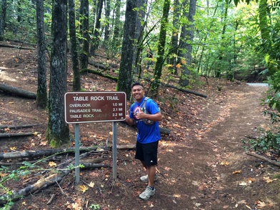
- 0.0 mi: From the dirt parking lot, head east up the well-marked Table Rock Trail. You will immediately begin climbing.
- 0.5 mi: At Bear Rock Overlook. Enjoy the view then continue on Table Rock Trail.
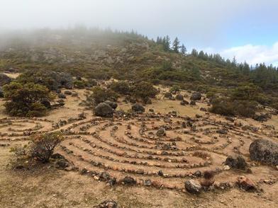
- 1.3 mi: Pass by the bizarre rock mazes on your left. Were these created by humans, or left by aliens?
- 2.1 mi: Pass Table Rock on your right. Scramble up the sharp, rugged rock to get to the top of Table Rock. You are rewarded with a stunning view of the Napa Valley as well as a great perspective on the ancient lava flows. Then, return to the trail and find the sign for Palisades Trail heading toward Oat Hill Mine Road.
- 2.2 mi: Get onto Palisades Trail heading toward Oat Hill Mine Road. The next 3.9 miles of narrow, rocky trail pass directly below the Palisades and the views are splendid.
- 6.1 mi: Pass the Holm's Homestead site. The stone foundations are all that remains. Just past the Homestead site, turn right onto the old Oat Hill Mine Road for a rocky, 4.5-mile descent back into Calistoga. Keep an eye out for the ruts that were carved by the wheels of heavy wagons traversing the soft volcanic rock.
- 10.6 mi: Oat Hill Mine Road ends at the intersection of Hwy 29 and Silverado Trail. You're back at your car! Now it's time to head into Calistoga for some wine and a mineral bath...
Favorite Run #2: Mt. Saint Helena Climb (10.6 mi, ~2100' elevation gain)
|
The trail to Mount St. Helena starts at about 2,300' and climbs over 2,000' to the summit. The first mile is a rugged, narrow trail that climbs through dense forest past the site where Robert Louis Stevenson's cabin once stood. The remaining 4 miles climb gradually along a dirt access road. The summit is, unfortunately, home to a large radio tower; however, the views from the summit make this a must-do run or hike if you are in the area.
The run starts from the parking lot for Robert Louis Stevenson State Park. Heading north from Calistoga on Highway 29, the parking and trailhead is on the left side about eight miles past downtown Calistoga.. To begin the run, head west from the parking area up the well-marked trail to Mount St. Helena summit. Important note: This route is exposed and gets extremely hot in the summer. If you attempt this route in the summer, go early in the morning and bring along extra water! GPX Track Printable Trail Map Driving Directions |
|
|
Route Details:
|
