Edgewood County Park and Natural Preserve

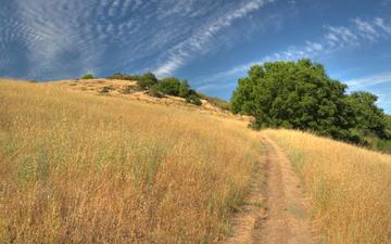
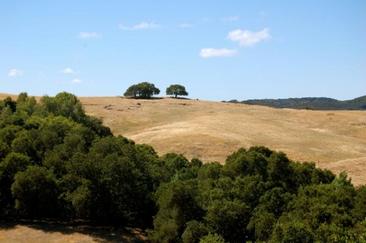
Edgewood County Park and Natural Preserve is a small 467-acre preserve located just off of I-280 at Edgewood Road, just north of the town of Woodside. The park is known for its sweeping views and amazing spring wildflower displays. The trails in the park are a mix of well-maintained singletrack and dirt roads, ranging in elevation from about 300' at the park entrance to 800' along the ridge. The trails are well marked so it is easy to find your way around the park.
There are a few different entrances to Edgewood Park. The main park entrance is off of Edgewood Road. There are also trailheads located off of Cañada Road (the Clarkia Trailhead) and Sunset Way (the Sunset Trailhead). The runs on this page start from the main park entrance.
If you are feeling particularly spunky, it is possible to connect Edgewood Park and Pulgas Ridge Open Space Preserve by running or hiking along paved roads for about a half-mile. To do this, just head back out the main entrance and carefully cross over Edgewood Road. Turn left, then turn right onto Crestview Drive. Take your first left onto Edmonds Road and go about a quarter-mile where you will see Pulgas Ridge Open Space Preserve on your right. Please be very careful when crossing Edgewood Road, as cars travel at high rates of speed!
Note: Several of the trail names were changed in 2015. In addition, numbered posts were installed at trail junctions. The new naming convention is more straightforward; however, the change has obsoleted any map printed before 2015!
|
The Dirt:
Extras:
|
Favorite Run: Big & Small Loop (4.8 mi, ~700 feet elevation gain)
|
This is a nice introduction to Edgewood Park, with a few good climbs and nice views thrown in. This route lets you explore almost the whole park, including the high points along the ridge.
Start this run from the main park entrance by heading up on the Edgewood Trail, which starts just behind the Education Center. GPX Track Printable Trail Map Driving Directions |
|
Route Details:
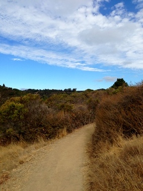
 Kickin' singletrack in Edgewood Park
- 0.0 mi: (Marker #2) Start heading up the Edgewood Trail. You will cross the Old Stage Road and Franciscan Trail, but keep following the Edgewood Trail.
- 1.2 mi: (Marker #9) Edgewood Trail ends on the wide dirt Sunset Trail. Veer right onto Sunset Trail.
- 2.1 mi: (Marker #20) Just before the Sunset Trailhead, veer left onto the narrow Serpentine Trail.
- 2.2 mi: (Marker #19) Turn left onto Live Oak Trail.
- 2.4 mi: (Marker #17) Take the left fork onto Ridgeview Trail to start the small loop.
- 2.8 mi: (Marker #15) Take the right fork onto Franciscan Trail.
- 3.0 mi: (Marker #12) Make a hard right turn onto Live Oak Trail. You will follow the Live Oak Trail back to the Serpentine Trail.
- 3.4 mi: (Marker #17) Continue on Live Oak Trail back to the intersection with Serpentine Trail.
- 3.6 mi: (Marker #19) Turn left to get back onto Serpentine Trail.
- 3.7 mi: (Marker #16) Continue straight onto Sylvan Trail toward the main park entrance.
- 4.6 mi: (Marker #7) Continue straight on Sylvan Trail toward the main park entrance.
- 4.8 mi: (Marker #2) Back at your car!
