Parker Ranch Trails (City of Saratoga)

The City of Saratoga maintains a variety of trails and open spaces within the city limits. The longest trail system is the Parker Ranch Trails. This partial loop winds up through the open spaces between houses and around the Saratoga Country Club, eventually connecting to Fremont Older Open Space Preserve. The total length of the Parker Ranch Trail system is about 4 miles; however, you can extend the run/hike by adding a loop in Fremont Older (see the Favorite Run below).
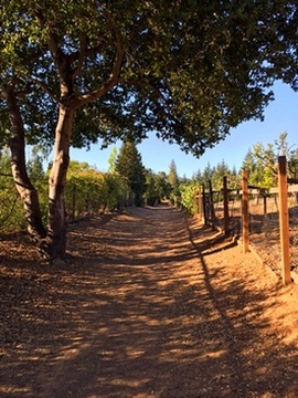
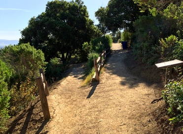
The Parker Ranch trails are a mix of singletrack, dirt road, and paved road. The section from the top of the loop (the "Y") to Fremont Older is entirely singletrack. Elevatons range from about 350' at the trailhead to just over 1000' at the entrance to Fremont Older Open Space Preserve.
There are several ways to access the Parker Ranch Trails. The easiest is via the trailhead on Prospect Road near Beauchamps Lane. You can parallel park your car along Prospect Road near the trailhead.
The Dirt:
- Click here to download a printable trail map of the Favorite Run below!
- Click here for the City of Saratoga Parks page with links to maps.
- Click here for driving directions to the Prospect Road trailhead via Google Maps.
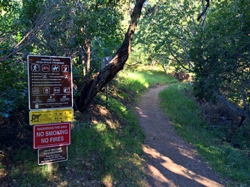
- Dogs on leash are allowed on ALL TRAILS in Parker Ranch
Favorite Run: Parker/Toyon Figure-8 (6.5 mi, 1000' elevation gain) 🐾
|
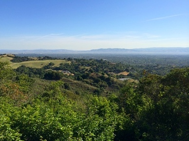
This route hits all four miles of the Parker Ranch Trails system and also adds a nice 2.5-mile loop in Fremont Older Open space Preserve. The climbs are generally moderate, except for one very steep section at mile 0.4 of the route. The views of the South Bay are excellent on a clear day.
To start the run, park along the side of Prospect road, just past Beauchamps Lane. The trailhead will be on your left side and is well marked. GPX Track Printable Trail Map Driving Directions |
|
Route Details:
|


